Debris and cleanup areas
Document visible debris locations, work zones, staging areas, and approved before-and-after progress.
Drone-supported disaster documentation
For partner-authorized projects, MGA can coordinate qualified drone support to capture useful aerial imagery of visible storm impacts and recovery work, subject to site access, airspace, weather, privacy, and operational requirements.
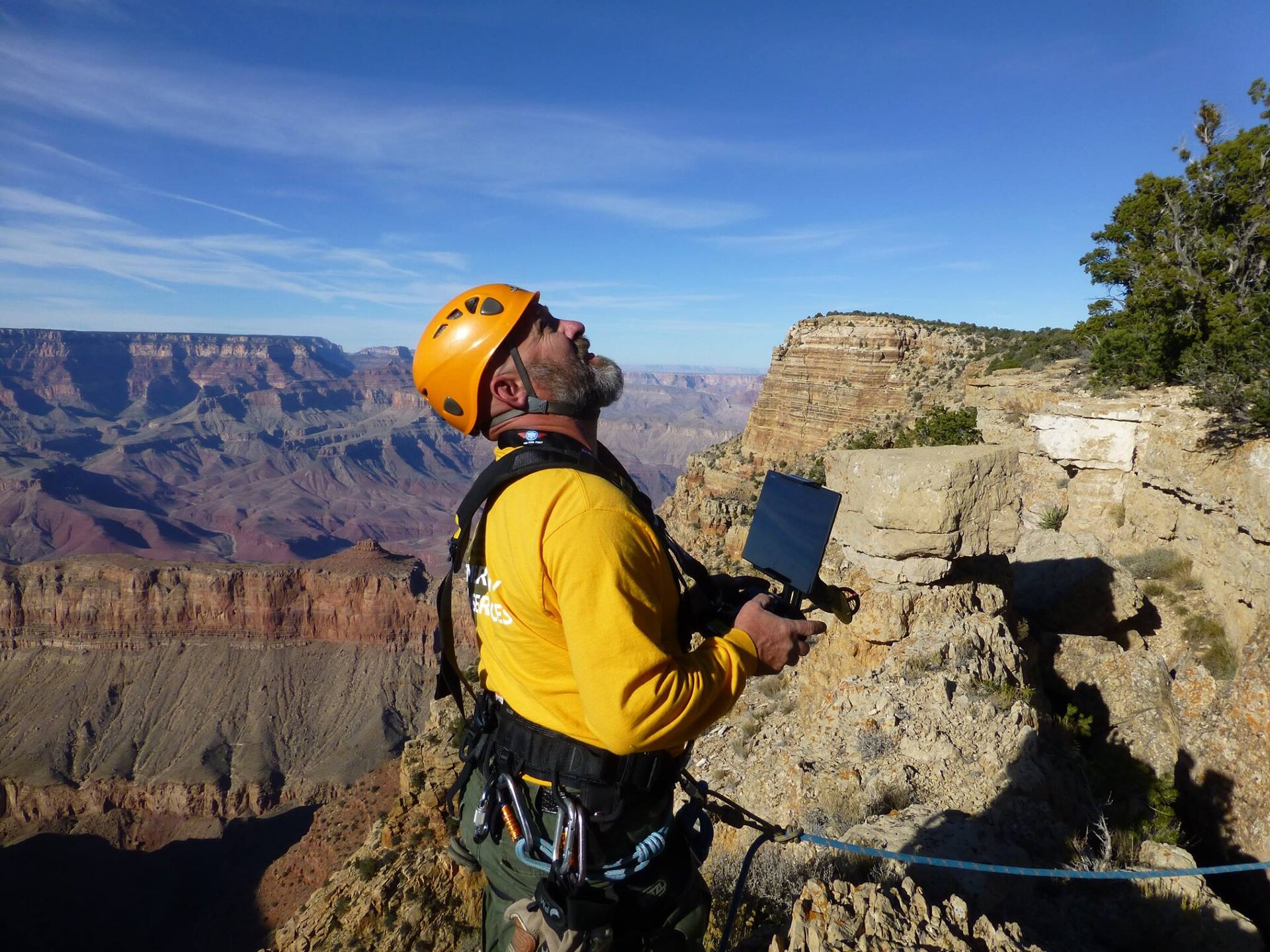
Document visible debris locations, work zones, staging areas, and approved before-and-after progress.
Capture visible water conditions, road or site access, and route constraints from lawful flight areas.
Record visible storm impacts, debris concentrations, erosion indicators, and stewardship progress for partner review.
Create an organized visual record of conditions visible from the air without entering structures or making regulated conclusions.
Imagery does not certify structural safety, cause, code compliance, or engineering condition.
MGA does not estimate covered loss, negotiate claims, appraise property, or provide public-adjusting services.
MGA does not monitor people or independently deploy aircraft into active incidents.
Aerial project inquiry
MGA will review the site, decision-maker, requested imagery, operating constraints, privacy considerations, and intended public-benefit use.